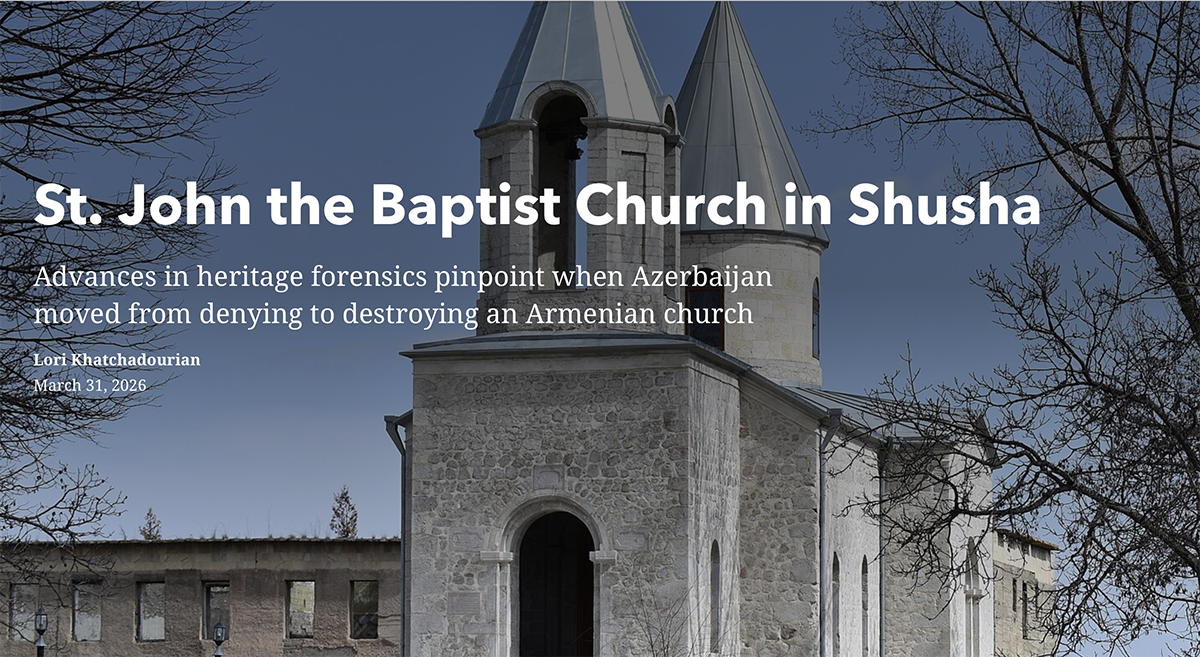
In April 2024, CHW reported the destruction of St. John the Baptist Church, a 19th century Armenian religious center and cultural landmark that had stood in the historic city of Shusha for 177 years. Using a new method of satellite analysis, CHW has been able to narrow the timing of the destruction from several months to under two weeks.
To achieve a more precise date for the church’s destruction, CHW, in collaboration with our partners at Planet, developed a dual satellite monitoring approach. This method, which CHW first tested in our analysis of the “Red Cross” Church of Bina/Tumi, entails harnessing the complementary monitoring capabilities of two tiers of satellite imagery.
CHW Created a new Story Map to explain exactly how this works.
Comments are closed