
HT.074-0
Amenaprkich Church
Threatened
Church
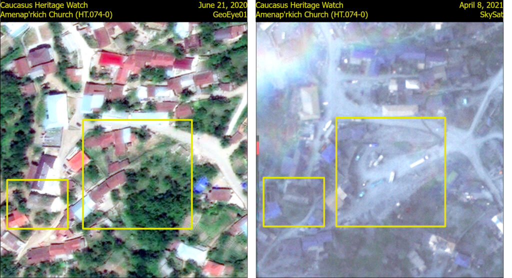
Before Image Date: June 21, 2020
Impact Image Date: April 8, 2021
Extension construction activity just east of the church constitutes a significant threat. The bulldozed area just east of the church hosts a number of construction vehicles. This activity is located just south of the road building work that destroyed Mets Tagher cemetery.
Metadata
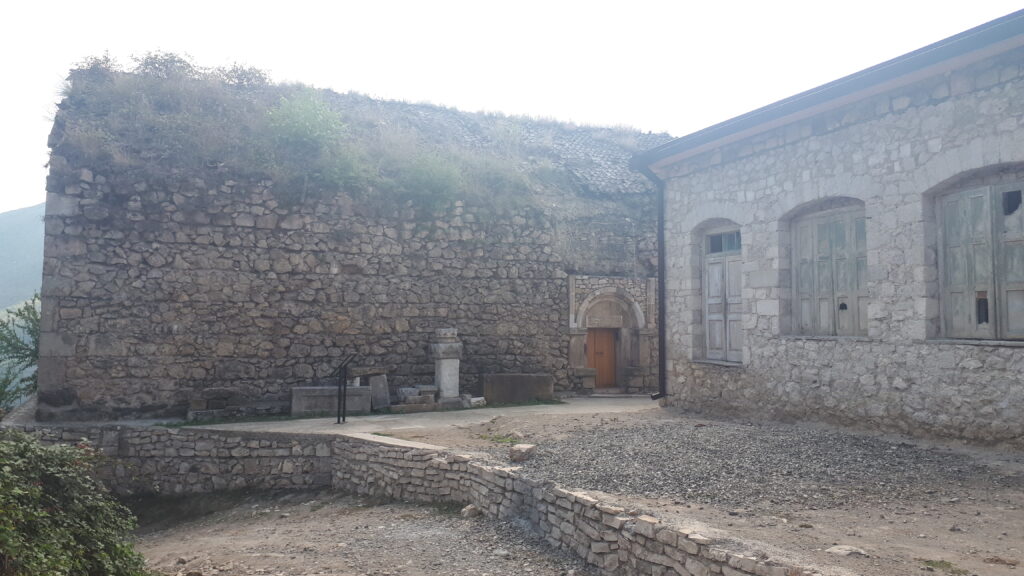
Image Metadata: n.a.